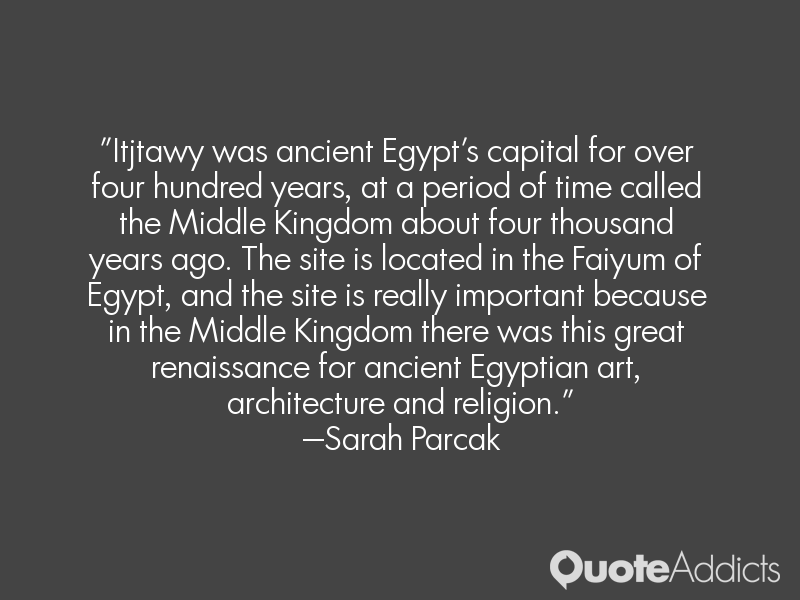
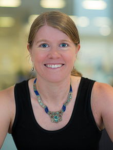
Sarah Parcak — American Scientist

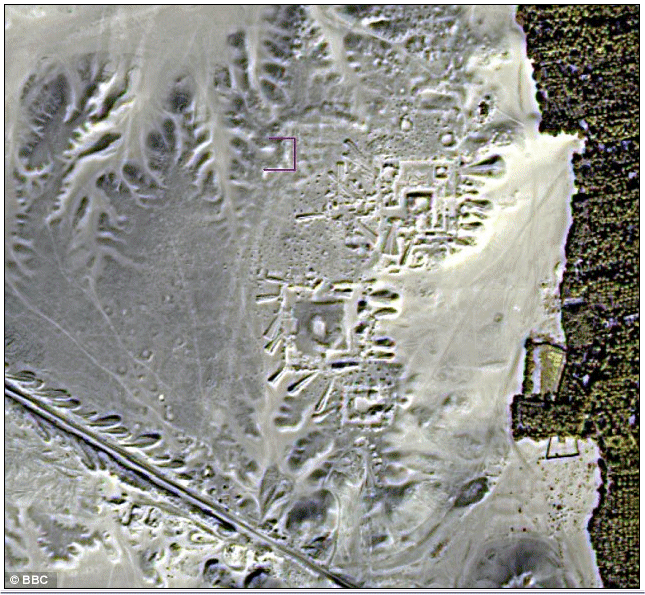
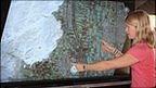
Sarah Helen Parcak, associate professor of Anthropology and director of the Laboratory for Global Observation at the University of Alabama at Birmingham, is an American archaeologist, space archaeologist, and Egyptologist, who has used satellite imaging to identify potential archaeological sites in Egypt, Rome, and elsewhere in the former Roman Empire. In partnership with her husband, Dr. Greg Mumford, she directs survey and excavation projects in the Fayoum, Sinai, and Egypt's East Delta... (wikipedia)

Archaeologists gave the military the idea to use aerial photographs for spying and field survey. We are fortunate that the spatial and spectral resolutions of the imagery available to us are so broadly useful for archaeology.
I give my grandfather, Dr Harold Young, a forestry Professor at the University of Maine, full credit for my career path. He pioneered the use of aerial photography in forestry in the 1950s, and we think he worked as a spy for the CIA during the Cold War, mapping Russian installations.
If you look at the Nile on a map of Egypt, you don't think it has moved very much, but the river is very violent and has moved over time.
The only technology that can 'see' beneath the ground is radar imagery. But satellite imagery also allows scientists to map short- and long-term changes to the Earth's surface. Buried archaeological remains affect the overlying vegetation, soils and even water in different ways, depending on the landscapes you're examining.
Itjtawy was ancient Egypt's capital for over four hundred years, at a period of time called the Middle Kingdom about four thousand years ago. The site is located in the Faiyum of Egypt, and the site is really important because in the Middle Kingdom there was this great renaissance for ancient Egyptian art, architecture and religion.